Anonymized Flagship 3D Terrain Twins · Chateau Country DE, Longwood PA & Coastal Delaware
Terrain, canopy & drainage,
seen before we walk.
Switch live between four anonymized 1-meter elevation, slope-class, canopy point-cloud, and overland drainage corridor twins — Greenville & Centreville DE, Longwood Gardens Corridor PA, Lewes DE, and Slaughter Beach DE — displayed strictly at road-corridor level with zero street house numbers or private tax parcel IDs. Phase A Huntly Site Model — visual planning model, not an engineering study.
Four Flagship 3D Terrain Twins · Piedmont to Bayshore
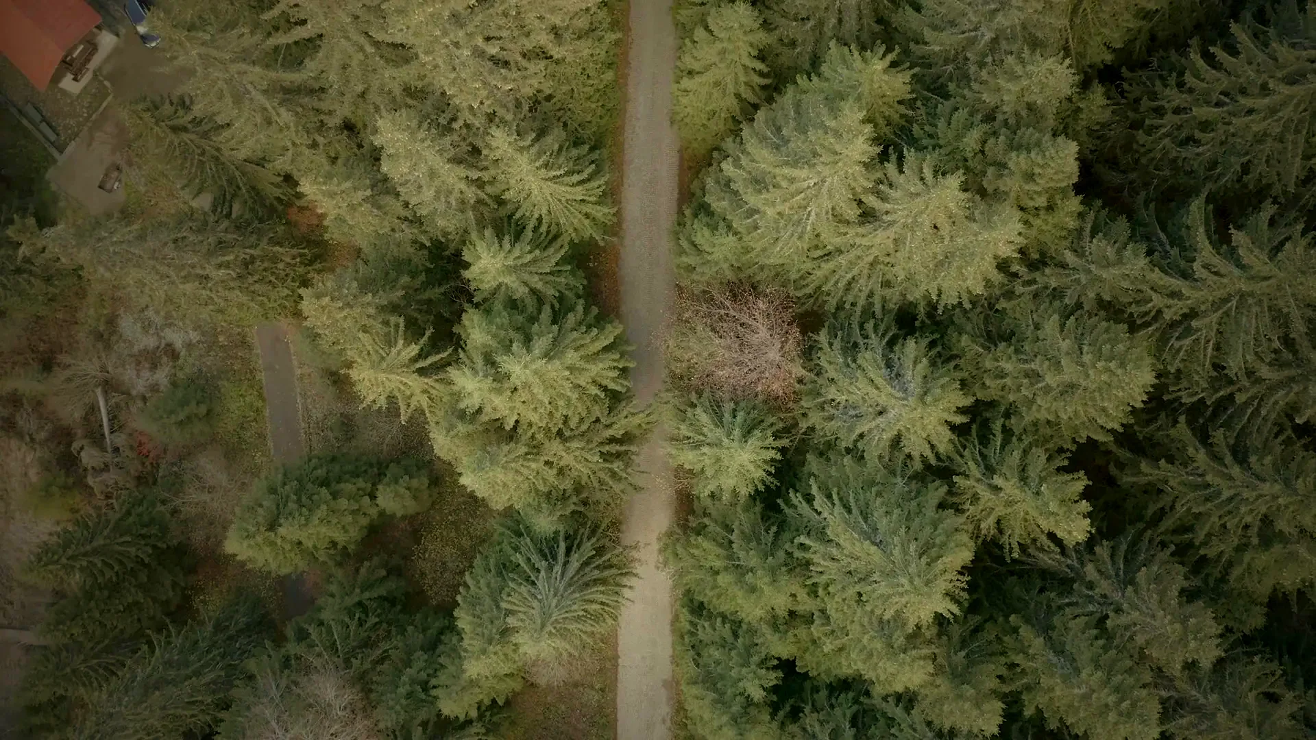
Phase A Huntly Site Model — visual planning model, not an engineering study. Imagery provided by The Conscient Group LLC. Select any flagship corridor below to update the 3D terrain mesh, shaded contours, slope classes, aerial canopy point cloud, and overland drainage swales.
Public demonstrations show road corridors and terrain contours only — zero street house numbers or owner tax parcel IDs. Custom parcel models and PDF dossiers are prepared inside the Private Client Vault for active commissions or credited Site Walk & Aerial Diagnostic Retainers.
Greenville & Centreville, DE — Chateau Country & Kennett Pike Estate Valley
Piedmont ridge and mature >8″ DBH oak, beech, and tulip-poplar estate valley near the Route 52 Kennett Pike and Montchanin Rd corridor. Models selective ≤8″ DBH understory mulching, stream-buffer protection, and Cat 285 XE (4.6 PSI) sightline restoration with dual-drone aerial mapping.
Direct Flagship Area Guides: Greenville, DE · Centreville, DE · Longwood Gardens Corridor, PA · Lewes, DE · Slaughter Beach, DE