Coastal division
Coastal gallery
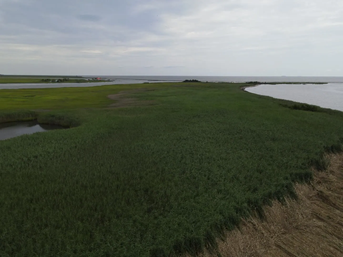
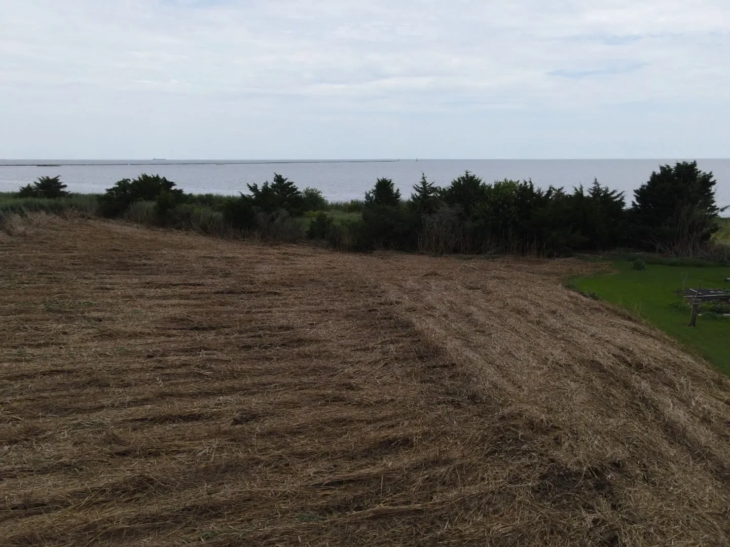
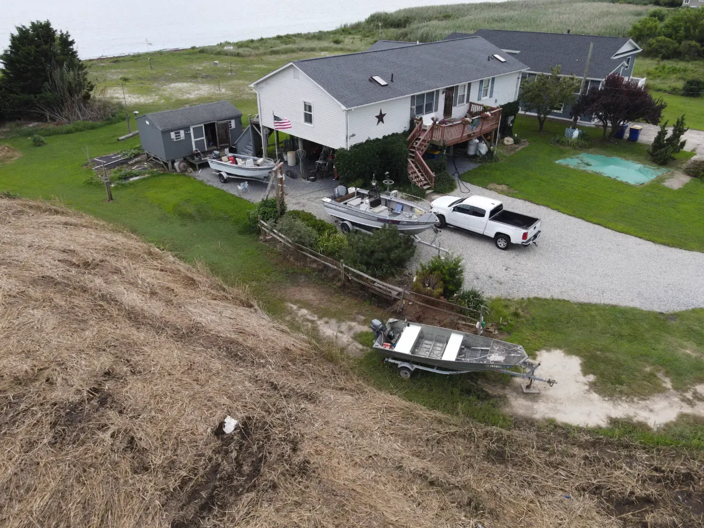
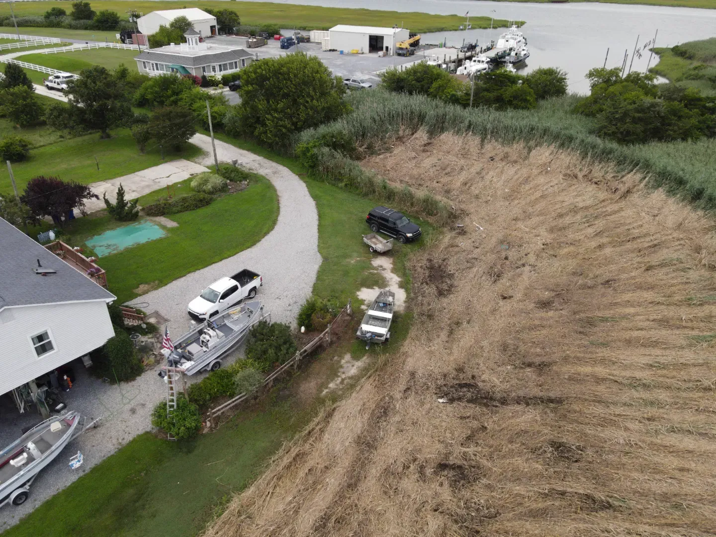
Standing reed, cut lines and cleared marsh, from the air and on the ground.
These frames show Phragmites ground and brush clearing with a tracked machine. They show the difference a cut makes: standing reed as found, the cut line where cut ground meets the stand, and cleared marsh running out to the bay. The stills are full 4K frames.
The ground, photographed
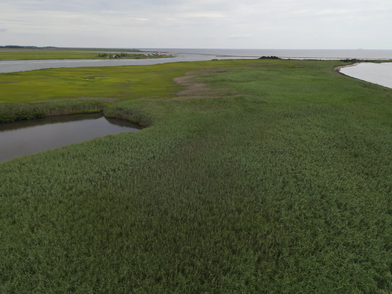
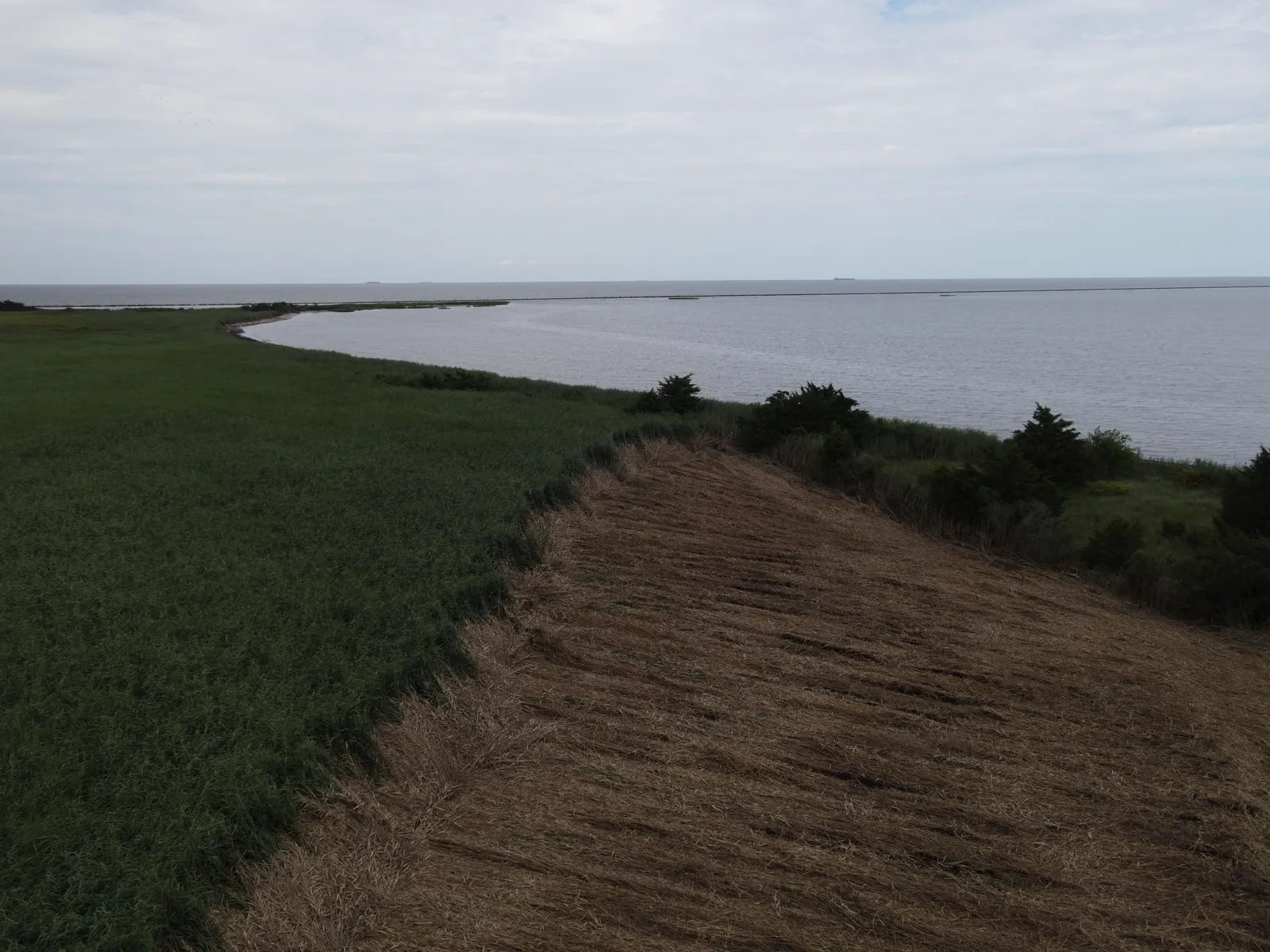
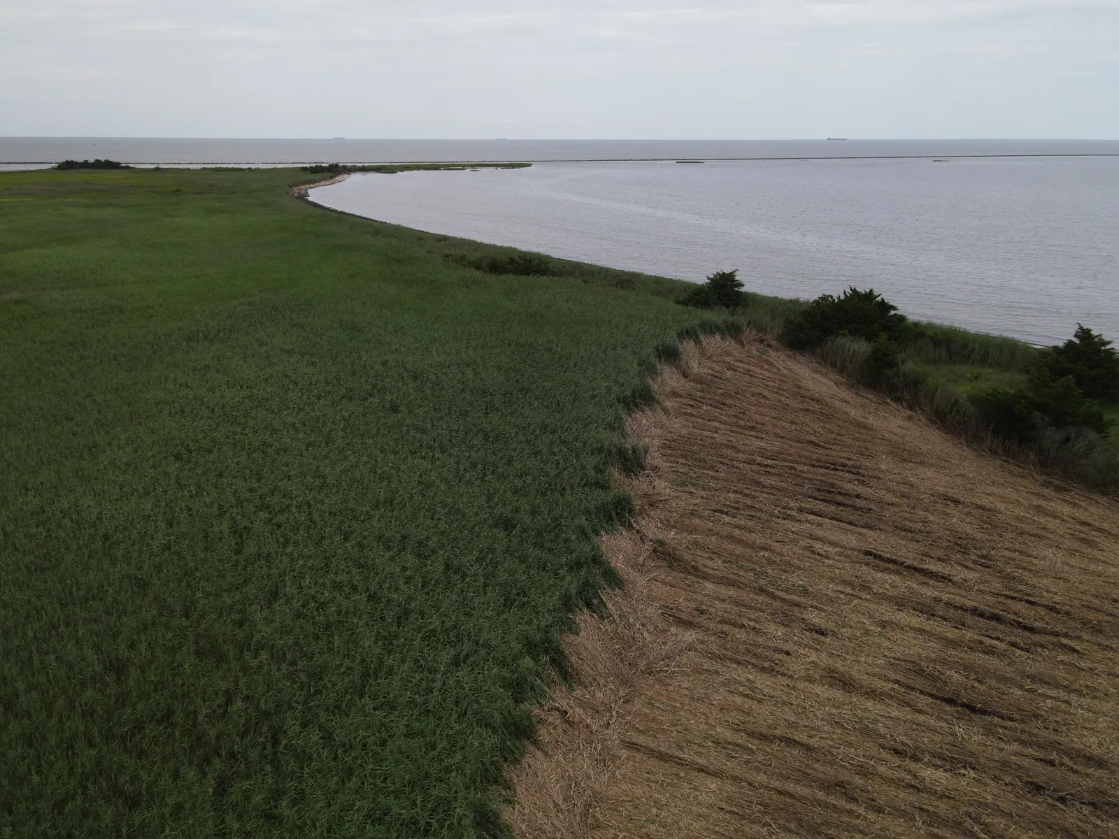
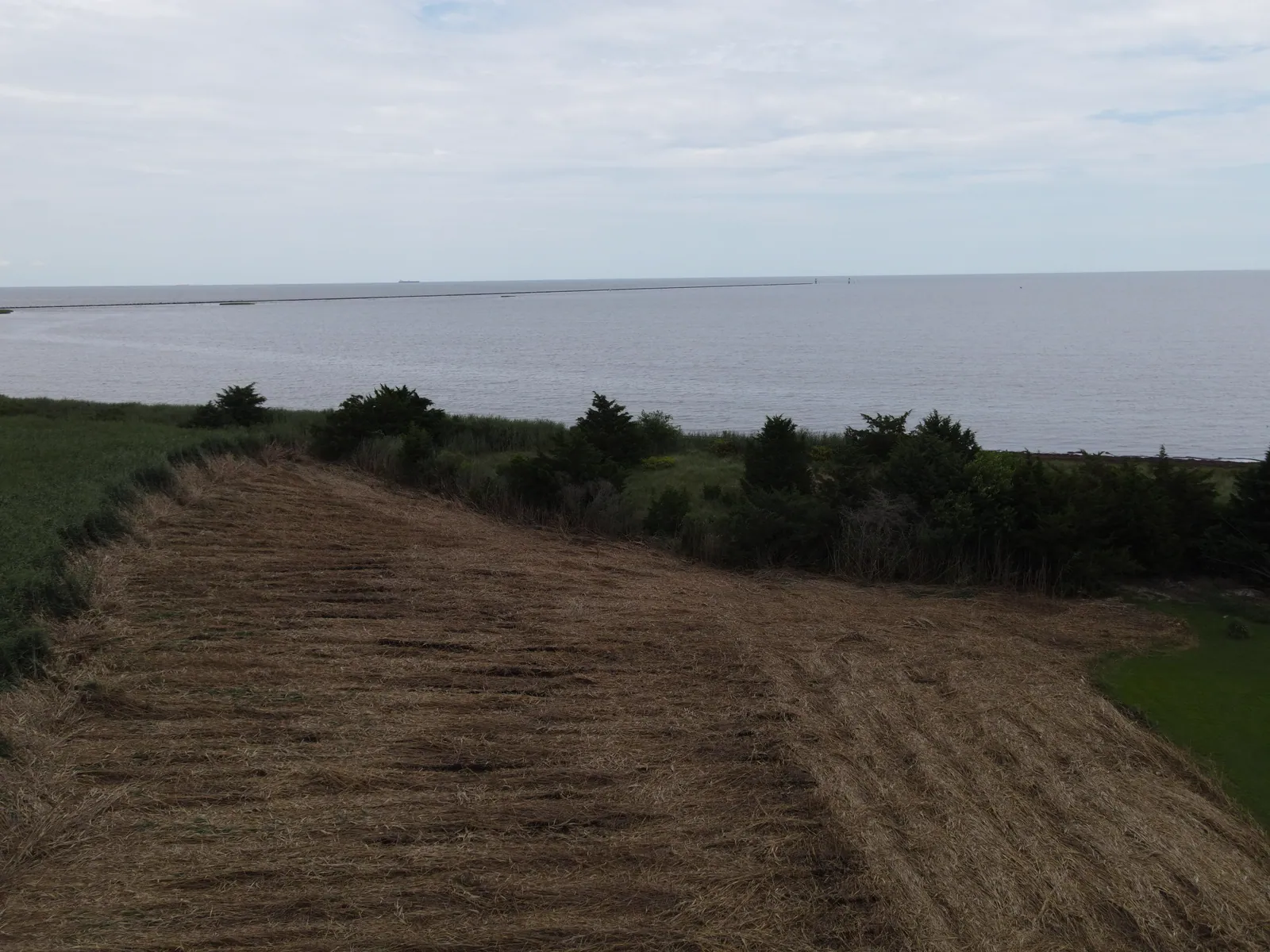
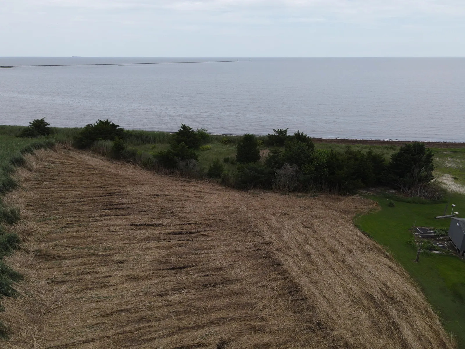
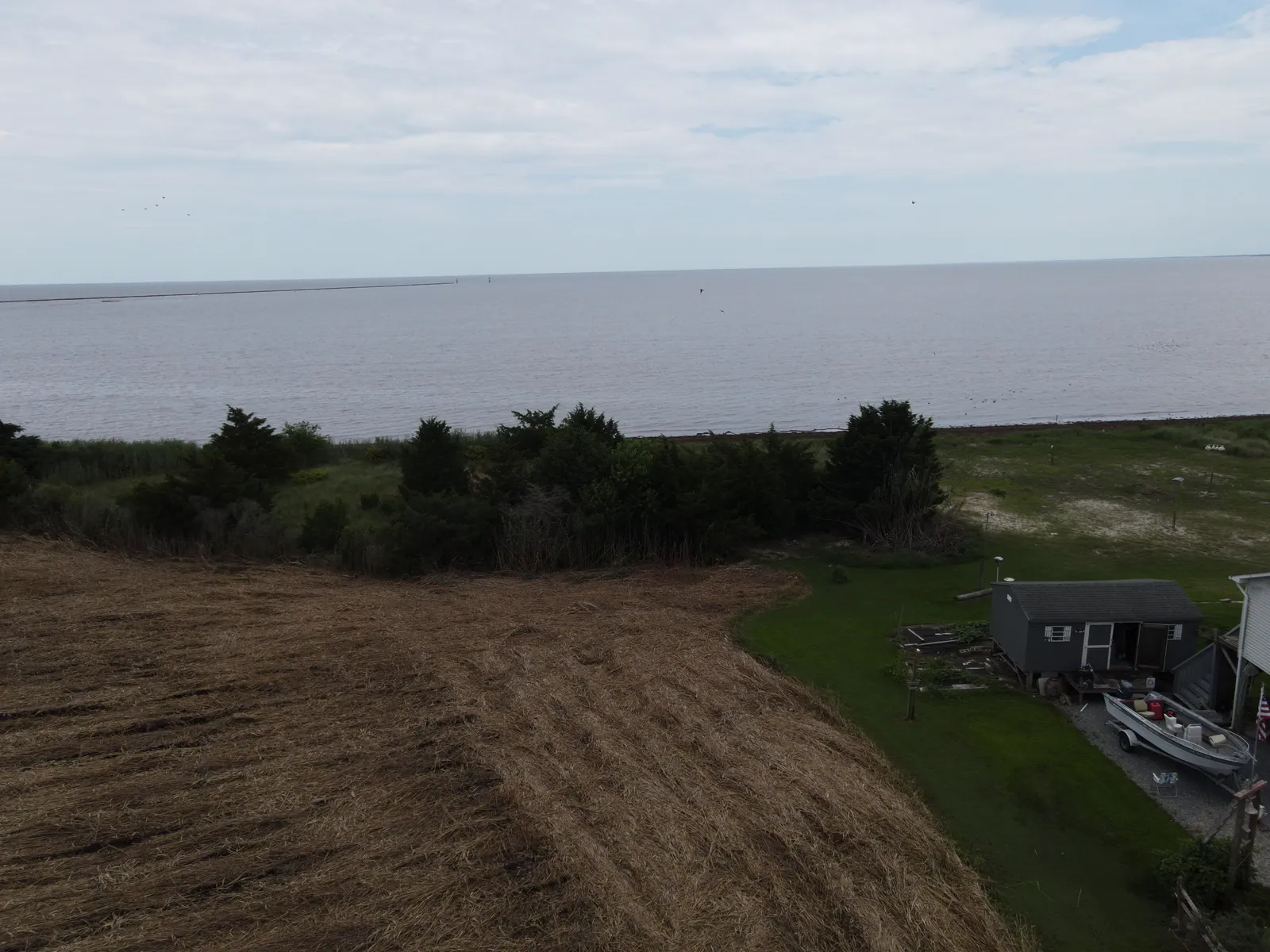
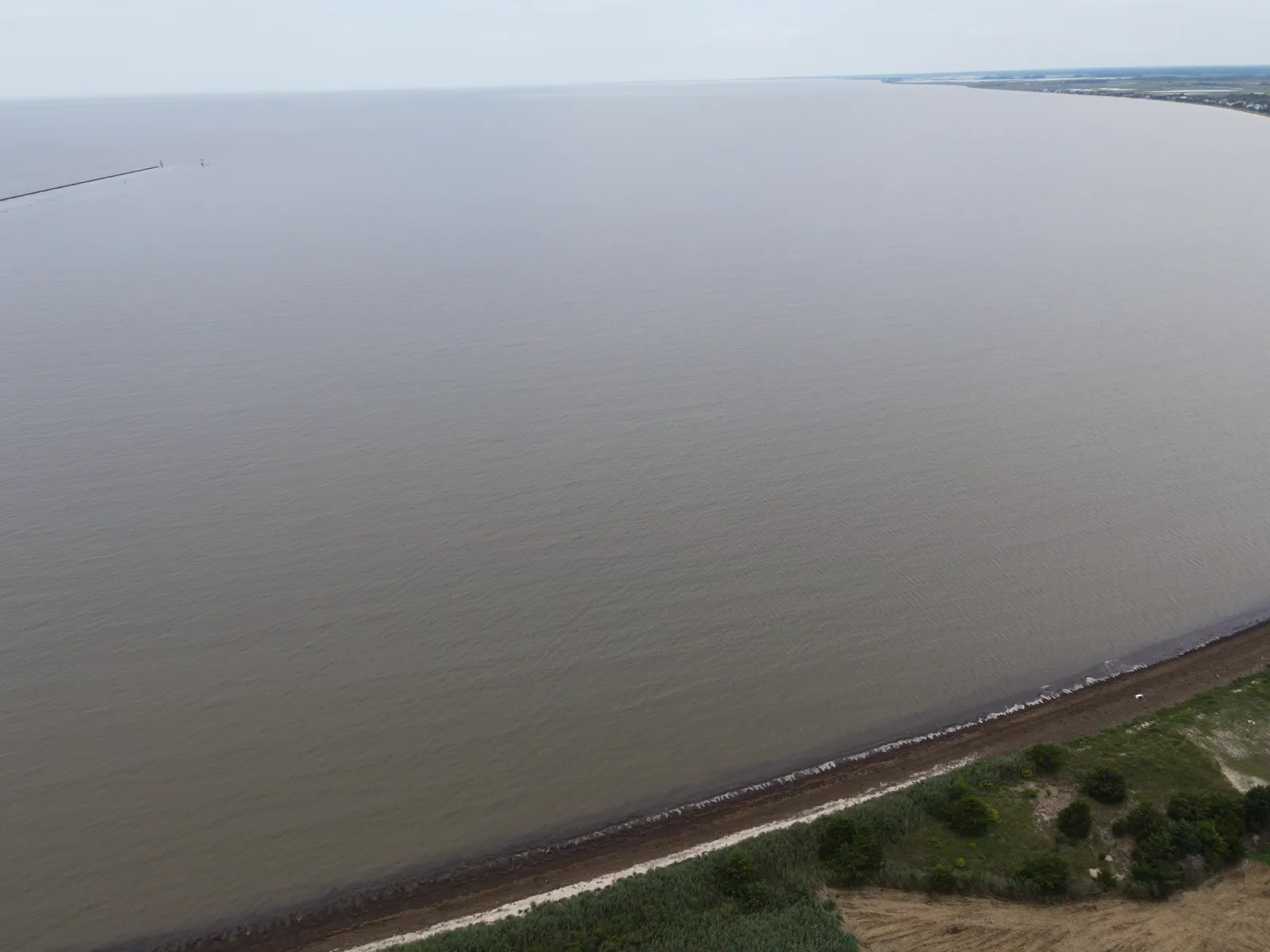
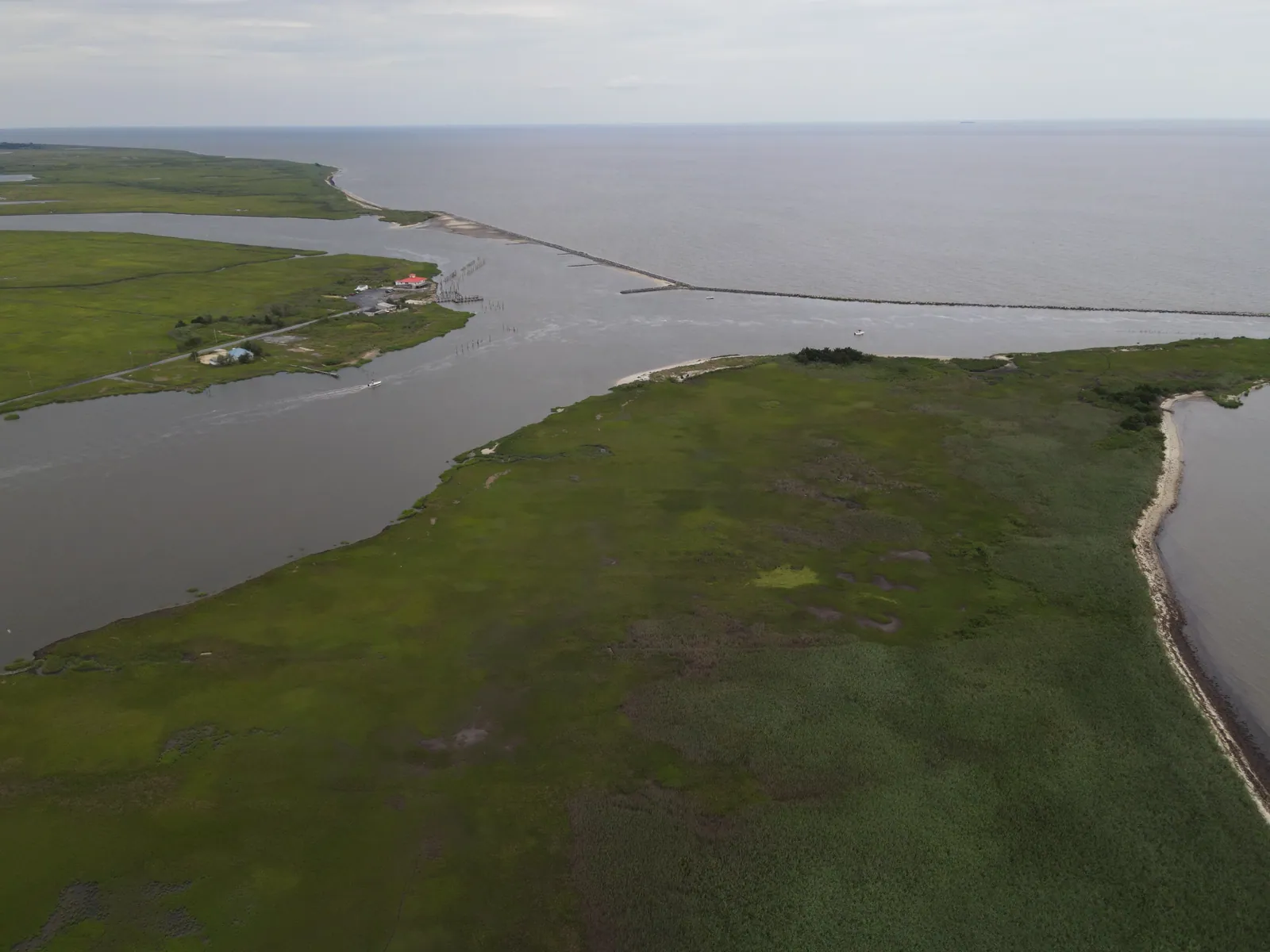
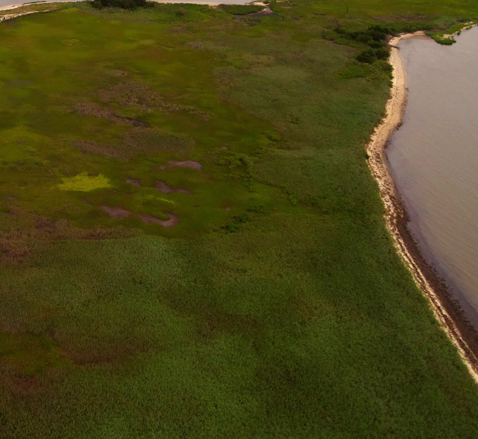
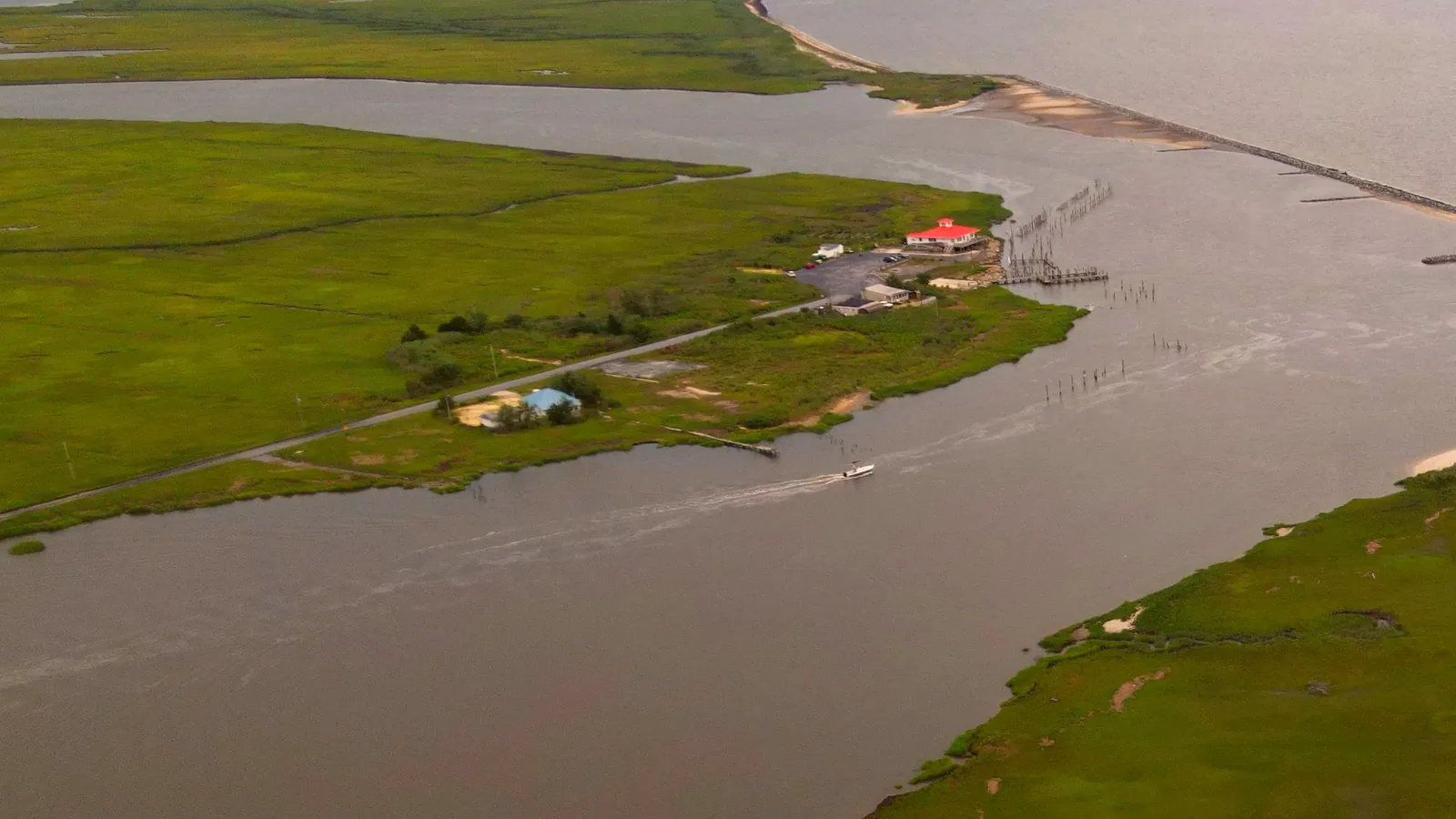
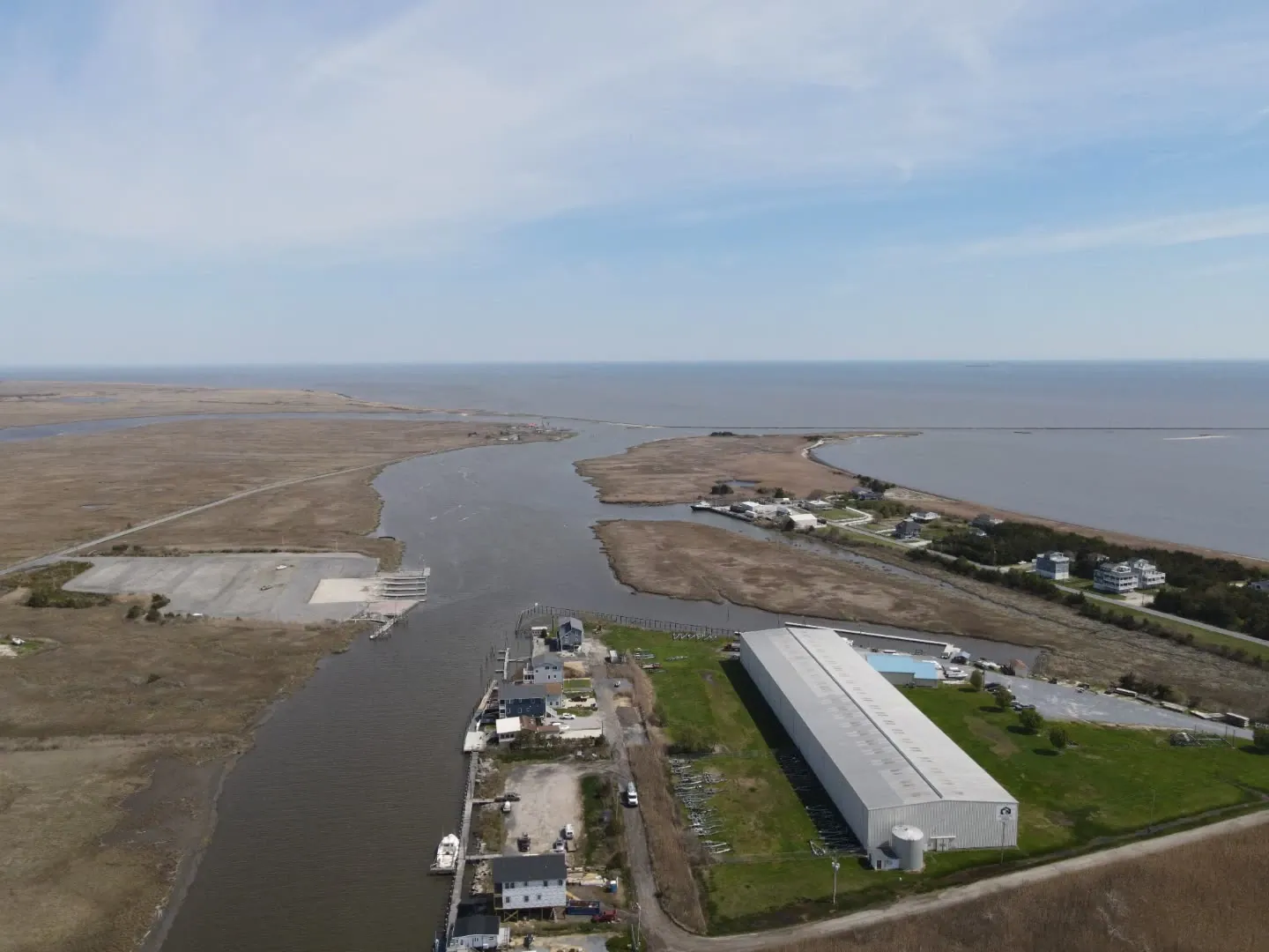
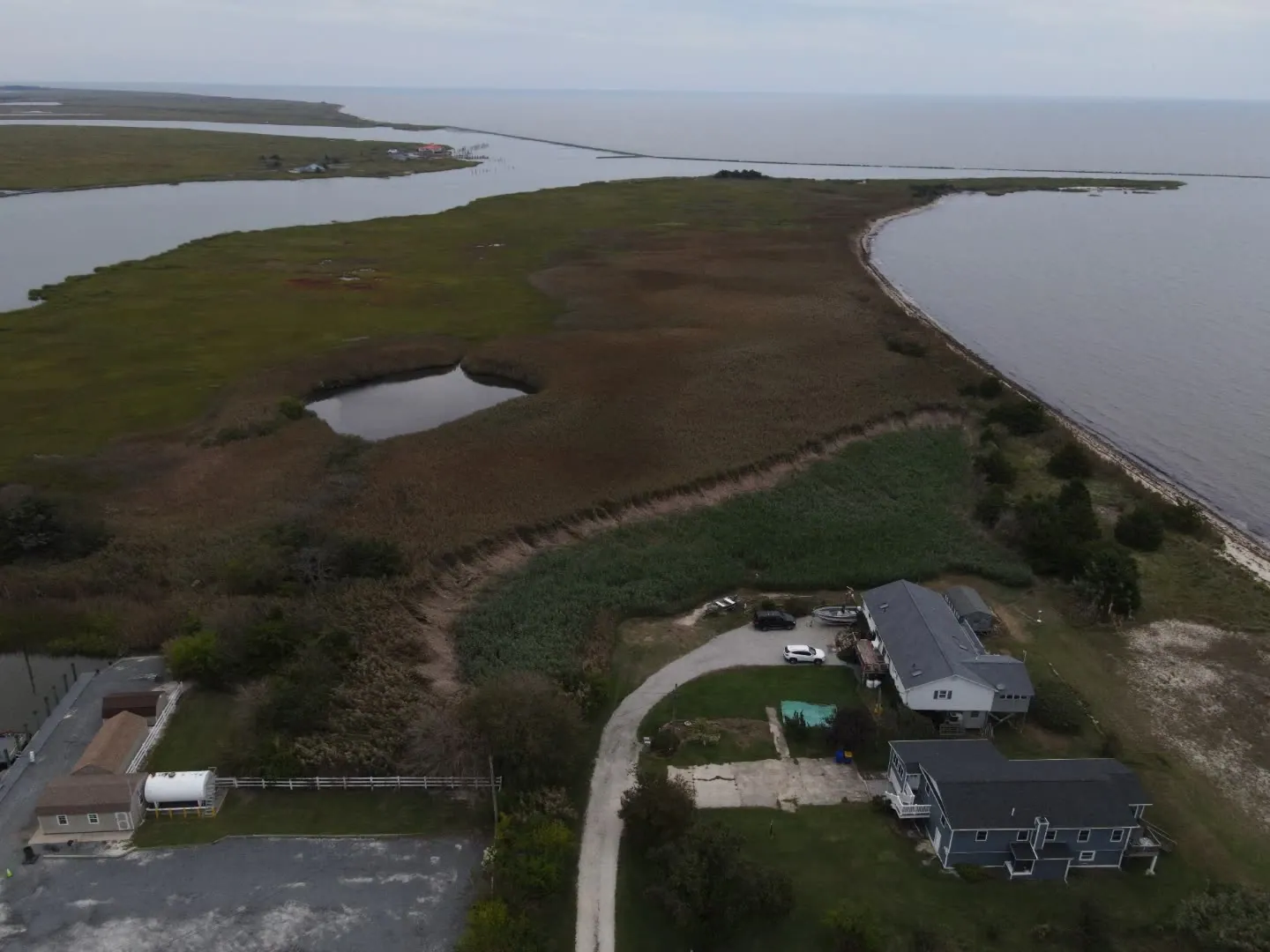
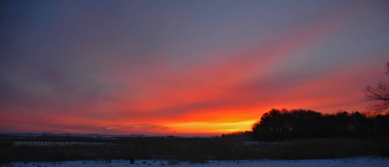
Captions describe what each frame shows. Frames marked Illustrative are shown for illustration and are not a record of a client property.
From the air
Five steps, in this order.
- Phragmites assessment and mapped standThe stand or the work area is walked and mapped, with access, tidal edges and low-bearing ground noted.
- Permit path confirmed with DNRECThe regulatory status of the site is confirmed with DNREC in writing before work begins, at no cost to the owner.
- Year 1 treat then clearLicensed treatment in late summer under separate paper, then a winter clear and mulch of the standing dead material.
- Years 2 to 3 spot-treat and maintenance clearRegrowth is spot-treated and the stand gets a light maintenance clear, on firm or frozen ground.
- Annual maintenance, drone-verifiedA yearly visit holds the result, and each year is photographed from the air for the owner’s record.
Let’s walk the shoreline.
hello@huntlyland.comSend the town, rough acreage and two or three photographs. We reply by email with site-walk times, and a written scope follows the walk.
Delaware & coastal line: (302) 497-5263 · Main line: (484) 486-7272
Office hours Monday to Saturday, 8 a.m. to 4 p.m. On call 24/7 for storm and emergency cleanup. If anyone is in danger, call 911 first.