Municipal division
What a documented corridor looks like
Ground and aerial frames of the kind of record a public scope produces. Captions describe what each frame shows.
These frames show the record a scope produces: top-down aerials of mulched corridors, the equipment staged on a cleared pad, decked timber and a cleared marsh edge. The corridor frames show the kind of cut a tracked mulcher leaves. Nothing on this page is presented as work performed for a public agency.
The ground, photographed
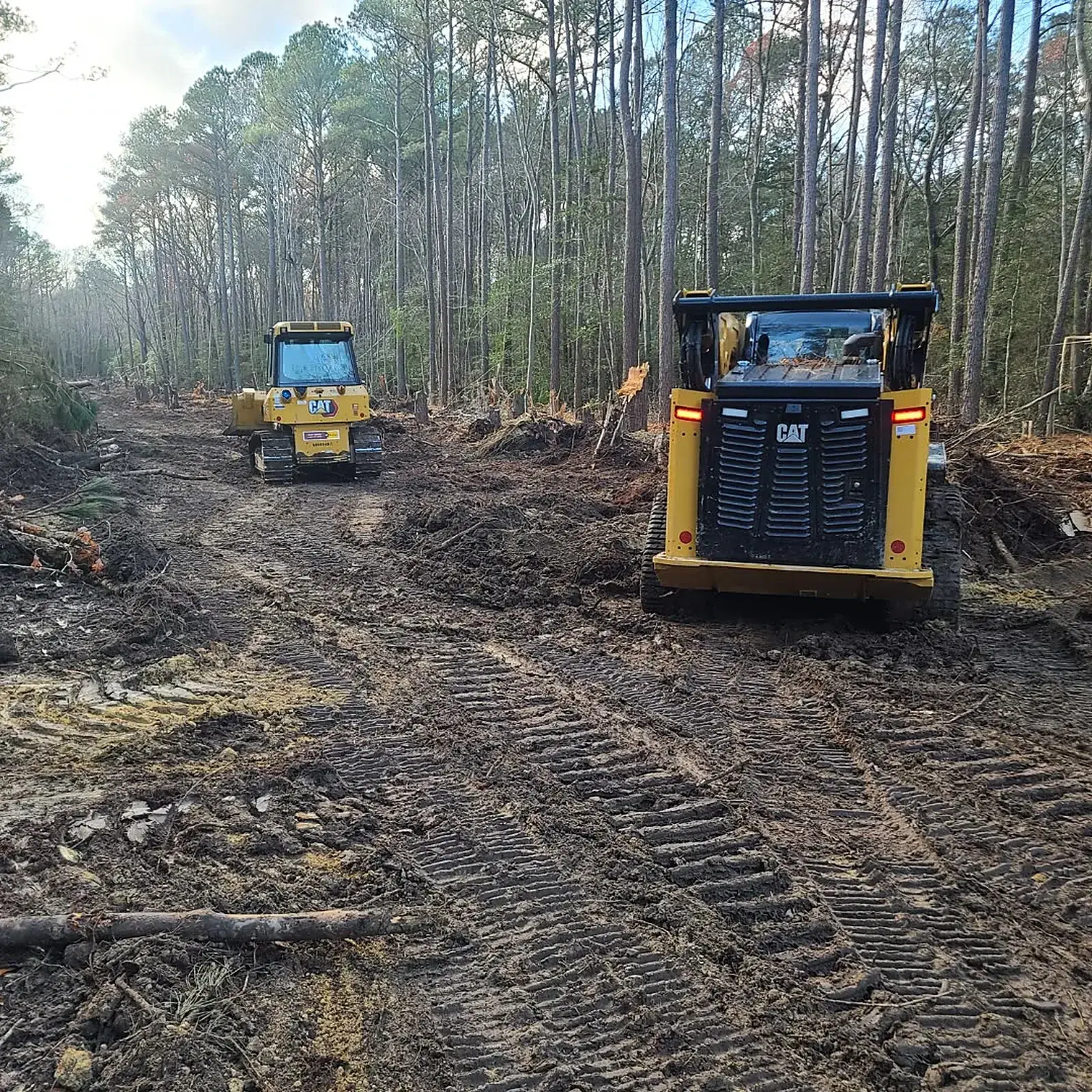
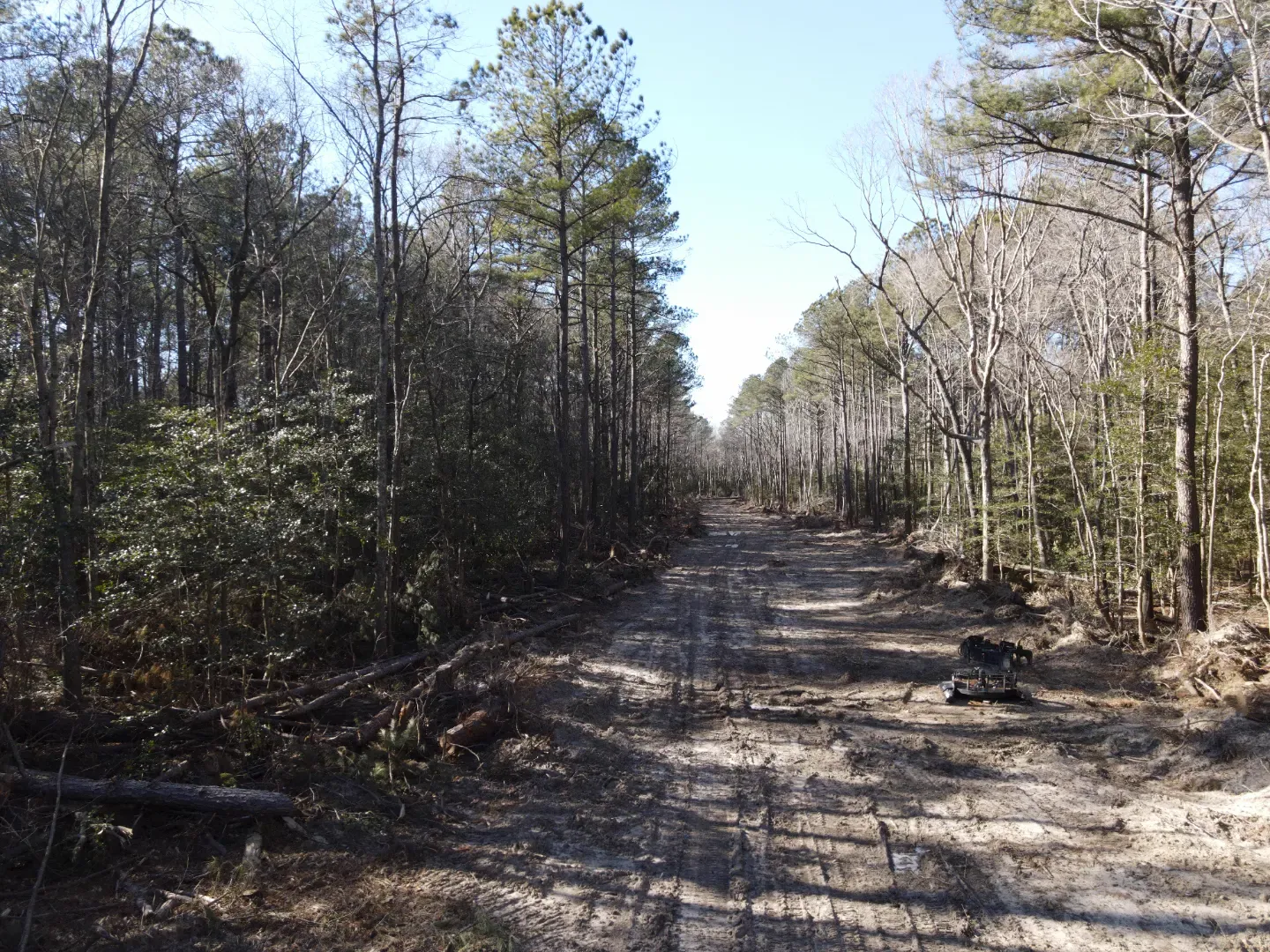
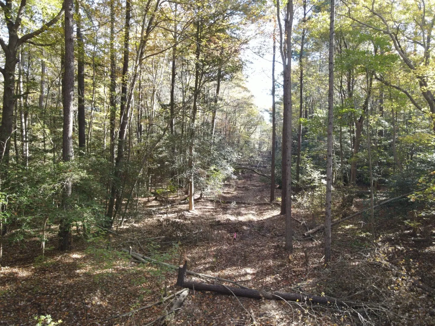
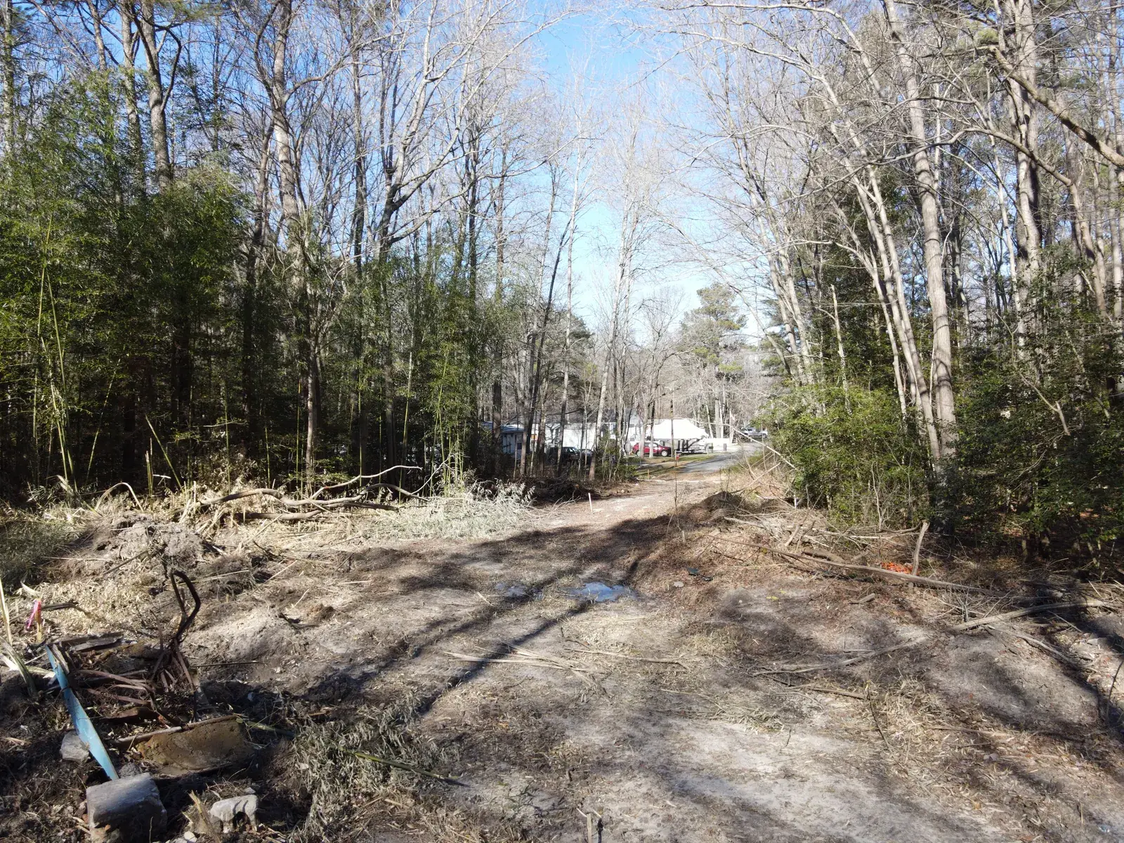
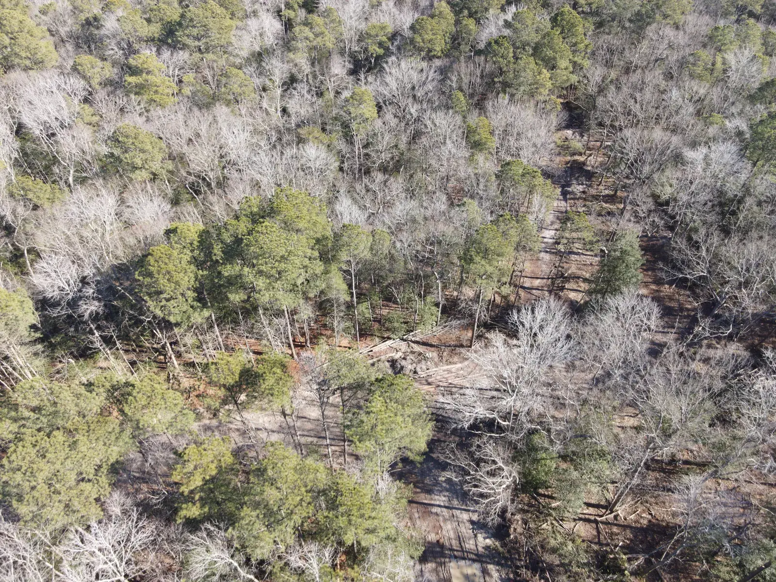
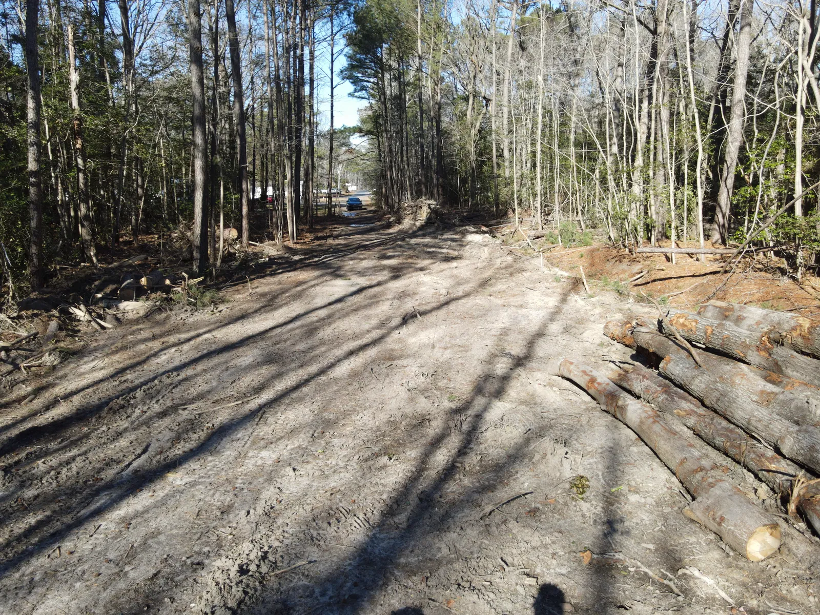
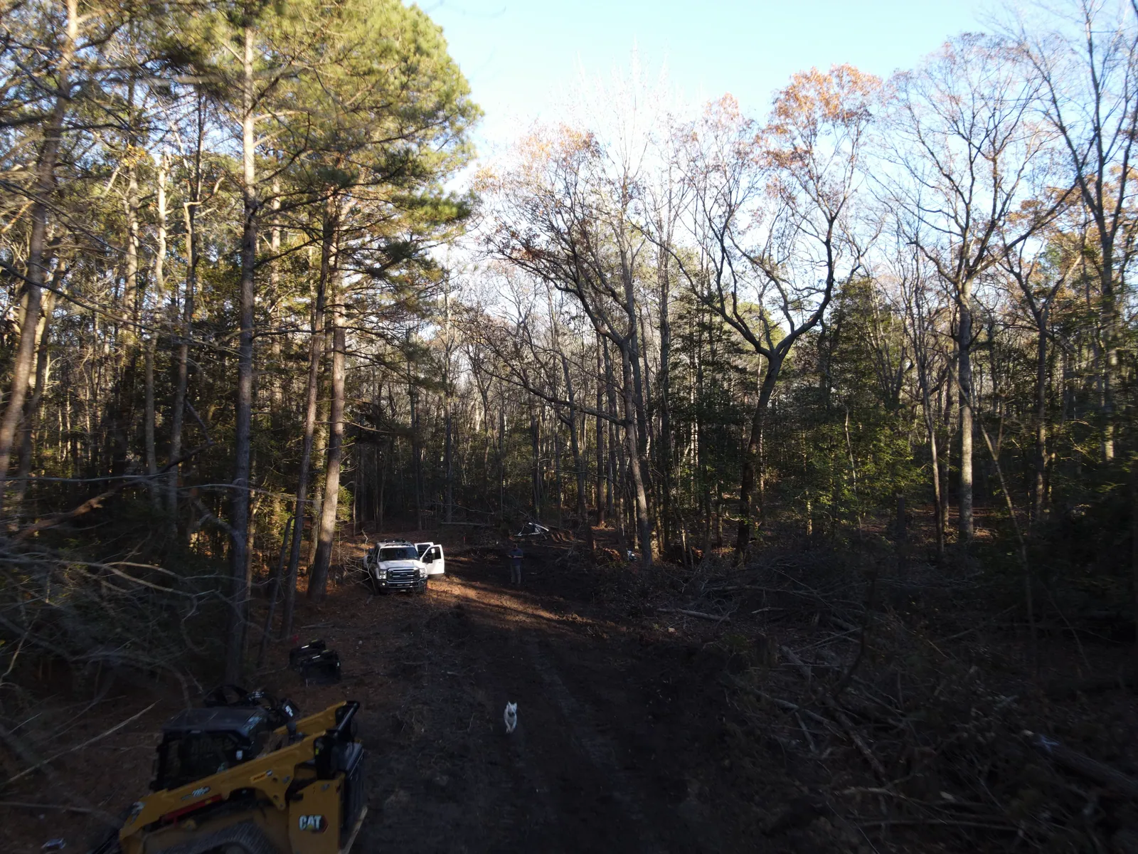
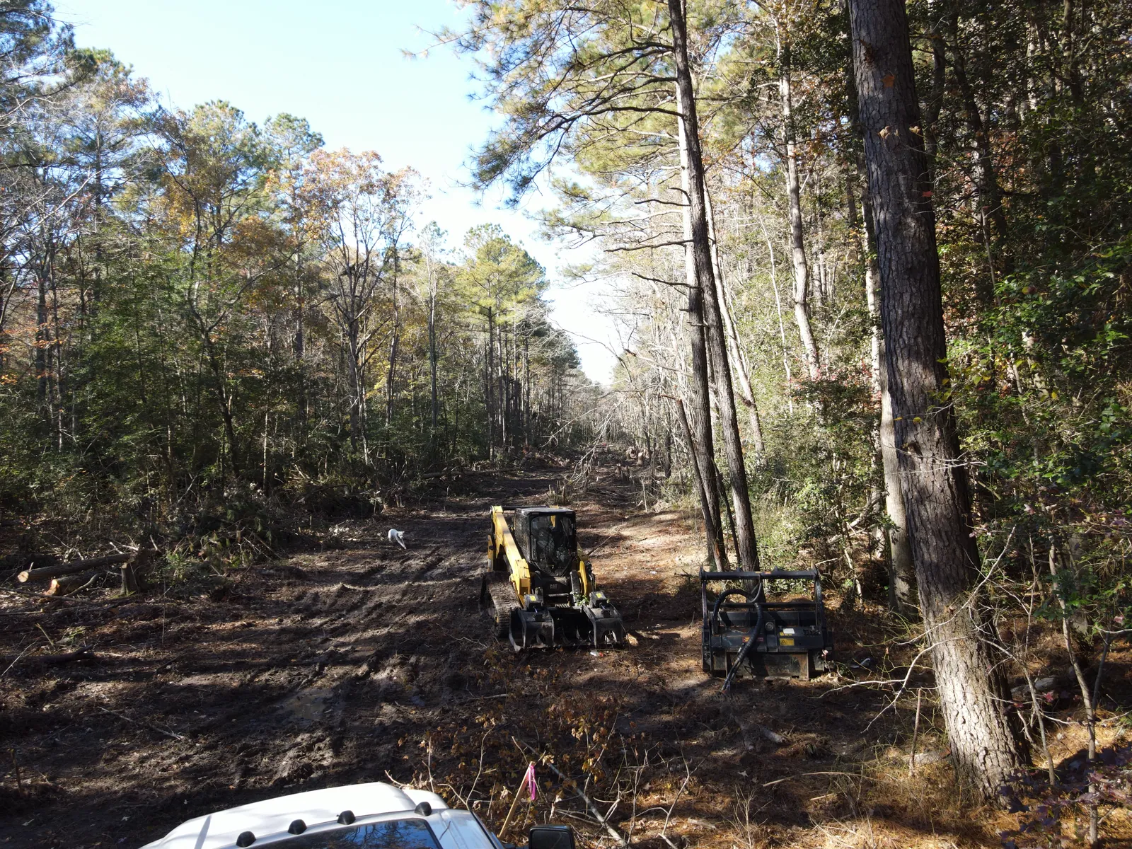
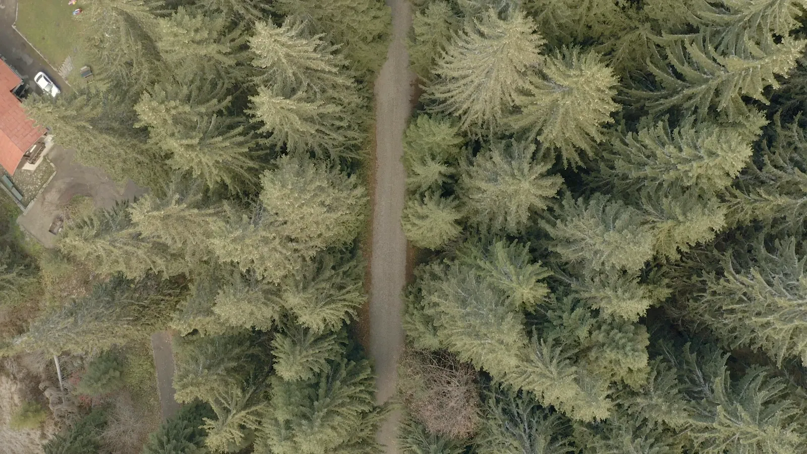
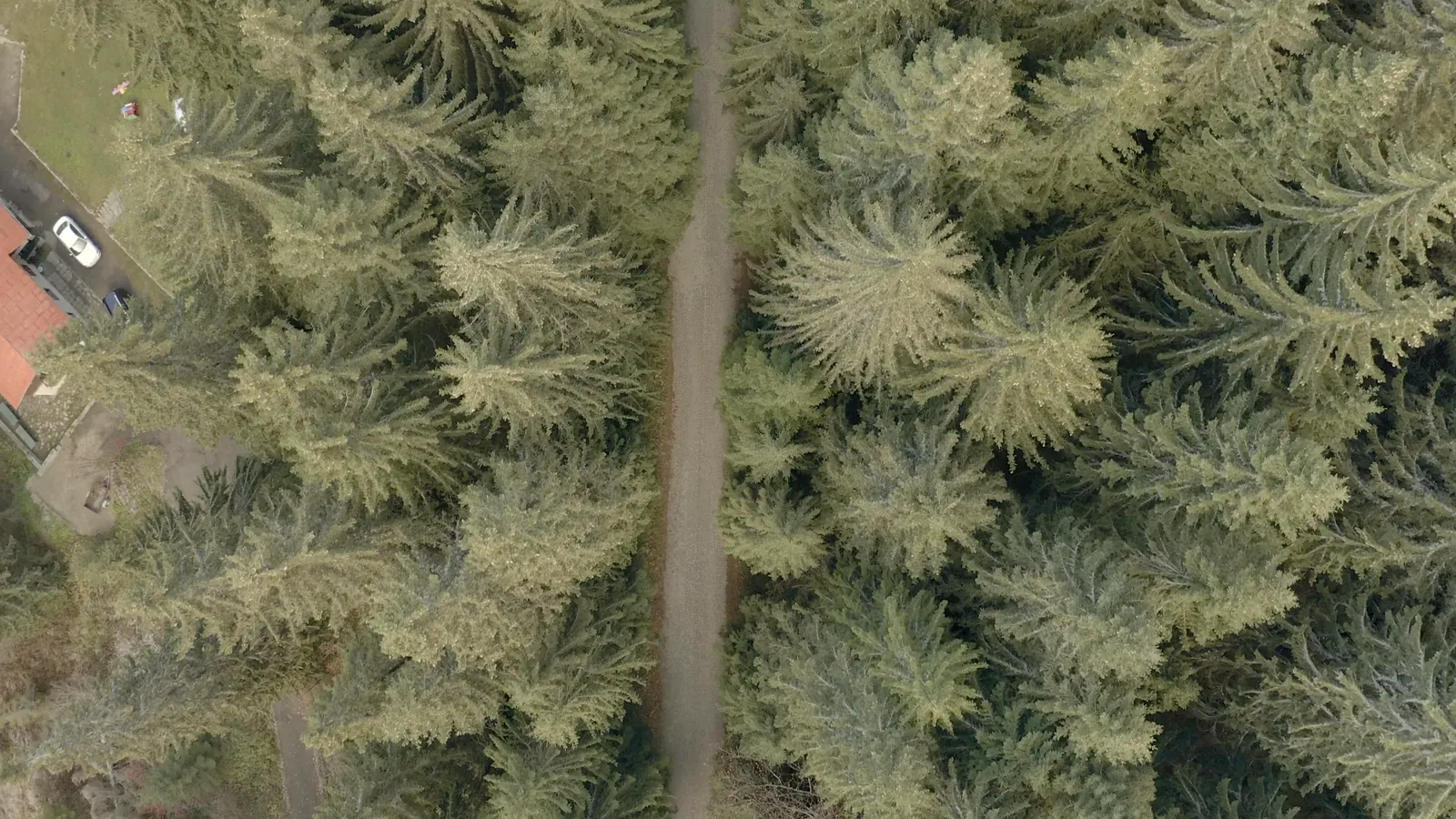
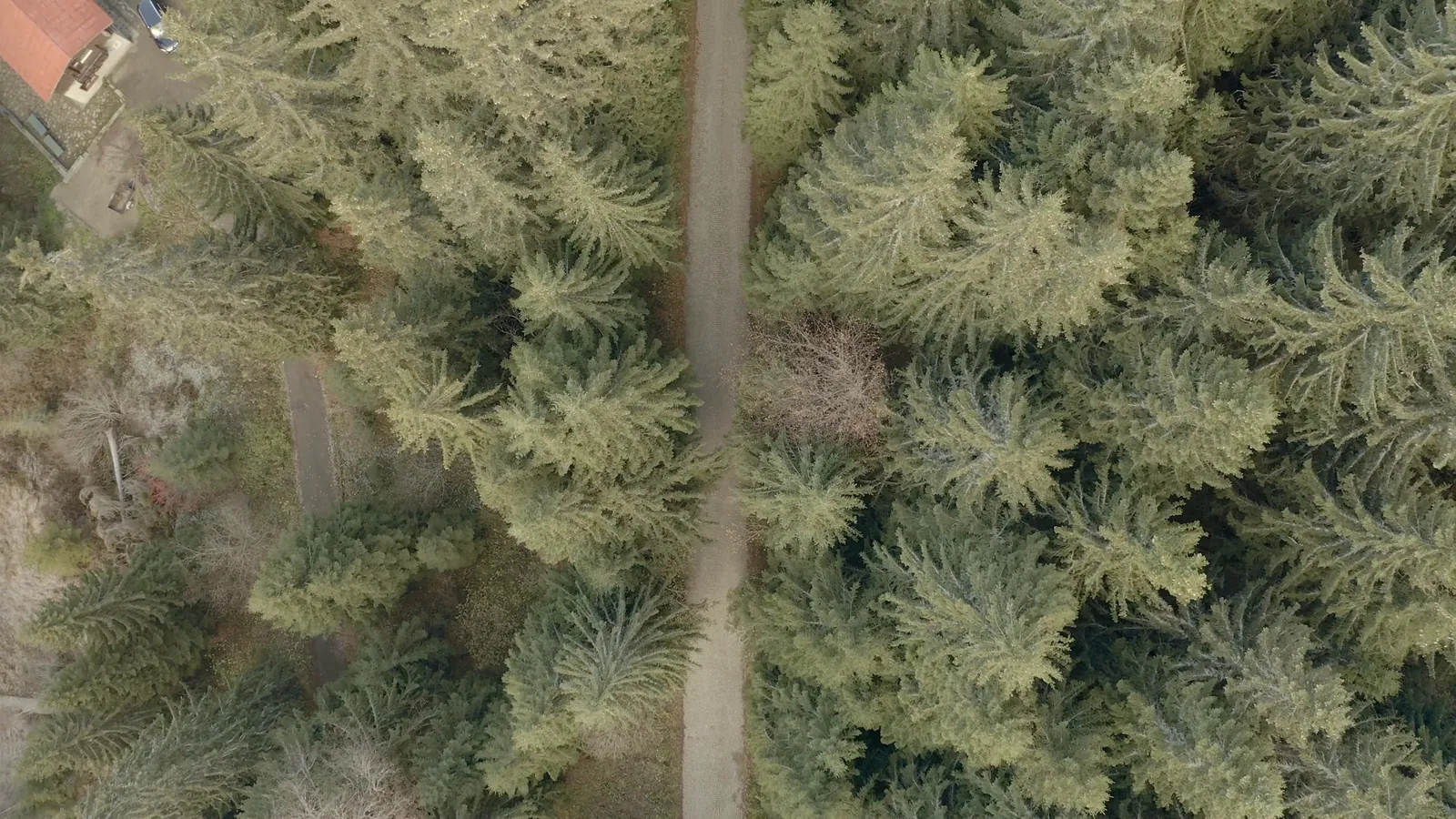
Captions describe what each frame shows. Frames marked Illustrative are shown for illustration and are not a record of a client property.
From the air
Five steps, in this order.
- Request for quoteSend the scope, location, acreage or linear footage, access constraints, permit conditions, required window and insurance requirements.
- Pre-mobilization site walkBoundaries, prong limits and no-track zones are marked on the ground and agreed in writing.
- Written scope with fixed line itemsEach line has a unit, a boundary and a finish standard, so it compares line for line against another quote.
- Dated ground and aerial documentationPhotographs from the ground and the air record each phase of the work as it happens.
- Close-out packageA paired before and after set and a short written summary, ready for an inspection, insurance or reimbursement file.
Send the scope. A written quote follows.
hello@huntlyland.comSend the town, rough acreage and two or three photographs. We reply by email with site-walk times, and a written scope follows the walk.
Office hours Monday to Saturday, 8 a.m. to 4 p.m. On call 24/7 for storm and emergency cleanup. If anyone is in danger, call 911 first.